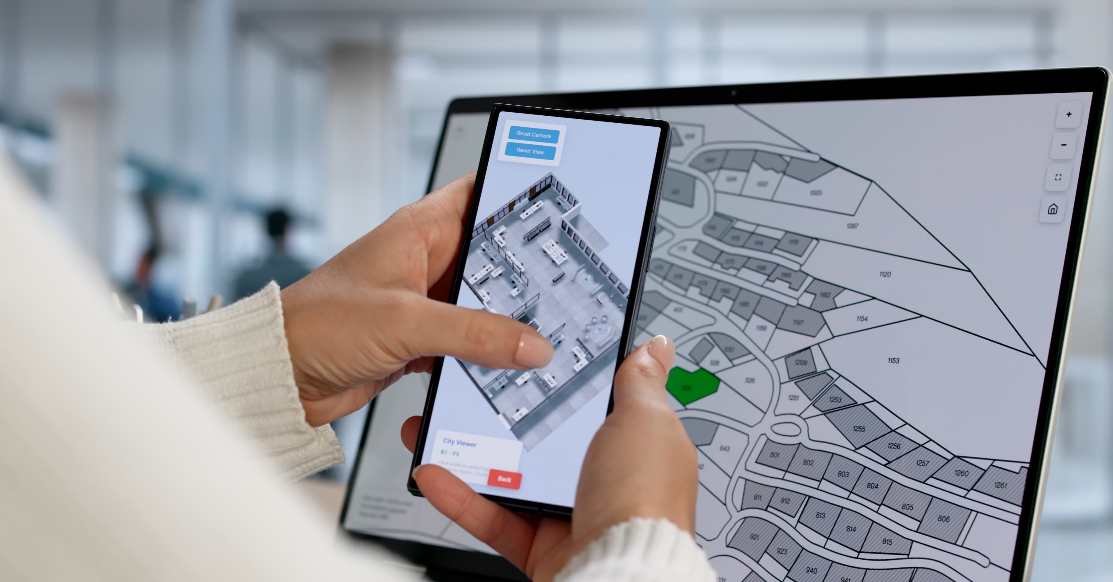
Many organizations already have GIS. The software is in place. The data exists. The maps are built.
But when it comes to real decision-making…GIS is rarely part of the conversation. It’s often underutilized.
Instead, teams rely on static exports or manual map views that sit outside the rest of the business data. Location data becomes something you reference in a vacuum, not something you help drive business decisions. That gap is where most GIS investments lose value.
The Problem: GIS Is Disconnected From Everything Else
In most organizations, GIS is underutilized because it can’t feed into the greater data picture. Spatial data lives in one system. Operational data lives somewhere else. Reporting happens on another platform entirely. Teams end up stitching pieces together manually, or skipping GIS altogether when time matters.
This creates a few familiar issues:
- Maps that are outdated the moment they’re exported
- Reports that don’t include location context
- Field updates that never make it back into central systems
- Decisions made without a full picture of what’s happening on the ground
The result is simple: you have GIS, but you’re not really using it.
What “Working GIS” Actually Looks Like
GIS becomes valuable when it’s part of your broader data environment. That shift changes how teams work with data. Instead of asking someone to “pull a map,” teams can answer questions instantly.
- Where are we seeing the most risk?
- Which regions are underperforming?
- What happens if we shift resources here instead of there?
GIS moves from just an interactive map to a core part of how decisions are made. One of the first places teams stall out is not knowing what’s possible with GIS. Sample applications can look like:
- Asset Management and Infrastructure Planning: GIS brings together location, condition, maintenance history, and risk into one view. Teams can move from reactive fixes to proactive planning, prioritizing the assets that matter most before issues escalate.
- Intelligent Routing and Project Planning: GIS allows teams to layer asset data, environmental constraints, land ownership, and regulatory boundaries in a single view. That makes it easier to evaluate options, reduce risk, and align across teams without back-and-forth guesswork.
- Field Operations and Real-Time Data Collection: Field teams are often the closest to what’s actually happening. With GIS-integrated apps, they can update data directly from the field. Inspections, asset updates, and issue tracking all feed back into central systems in real time.
- Customer and Public-Facing Applications: Interactive maps give customers, residents, or stakeholders direct access to information. Instead of relying on internal teams to answer basic questions, users can explore data on their own.
- Spatial Analytics and Business Intelligence: When integrated with tools like Power BI, location data becomes part of your reporting environment. Performance, risk, and trends can all be visualized geographically. Patterns that were invisible in spreadsheets become obvious.
Where to Start
Getting the most out of your GIS investment can be a big undertaking. But a few focused steps now can make a meaningful difference:
- Identify where location data should influence decisions
- Map where GIS data lives today and how it’s used
- Connect GIS to existing reporting and analytics tools
- Reduce manual steps in data updates and reporting
- Start with one high-impact use case and expand from there
The fastest wins usually come from integrating GIS into an existing reporting or operational workflow, not launching a brand-new initiative.
Need Help Turning GIS Data Into Something Useful?
Most organizations don’t need new tools. They need a better way to connect what they already have. Team SCS helps organizations integrate GIS into their broader data environment so it becomes part of how decisions get made, not something that sits on the shelf.
Let’s talk about where your GIS stands today and what it could be doing instead.
Superior Consulting Services (SCS) is a Microsoft-centric technology firm providing innovative solutions that enable our clients to solve business problems. We offer full-scale data unification, modeling, and analytics solutions.